
Shreyas Infra
A survey company's website you can actually operate.
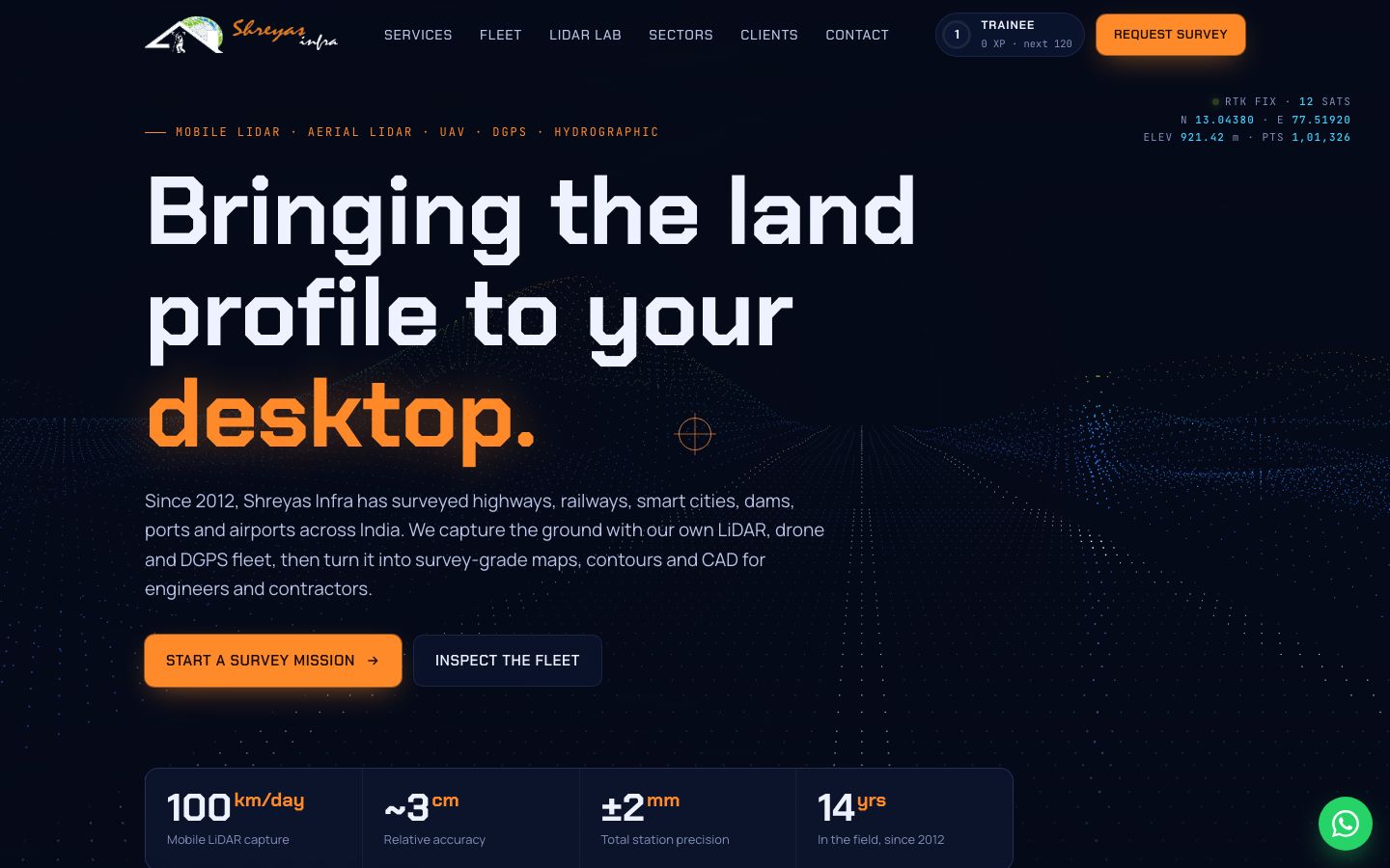
Surveying highways, railways, dams, ports and airports across India since 2012. We turned mobile LiDAR, drones, DGPS and hydrographic survey into a field-ops console: scan a live point cloud, classify it, and try to out-measure a total station.
What we built, and why
- 1
Live point-cloud hero that scans as you move
Engineers and contractors have seen a hundred stock-photo survey sites. A point cloud that reacts to the cursor shows what LiDAR captures in the first second, before a single technical claim.
- 2
LiDAR Lab: classify the cloud yourself
Clients pay for classified data, not raw scans. Letting visitors switch on ground, trees, buildings, water and power lines explains the deliverable better than a paragraph of jargon.
- 3
“Beat a total station” field challenge
Total stations measure to ±2 mm. A three-shot game against that number makes the case for survey-grade gear, and why cheap surveys lead to rework on a DPR.
- 4
Fleet loadout and WhatsApp mission brief
Owning their LiDAR, drones and DGPS is a real advantage, so the fleet gets its own section. The brief form opens WhatsApp with site, scope and deadline pre-filled, which is how survey work is actually quoted.
Want something like this?
Every Borangi build follows the same 5D process: discover, design, deploy, drive and dominate. You get a fixed quote up front and own the code, domain and accounts from day one.